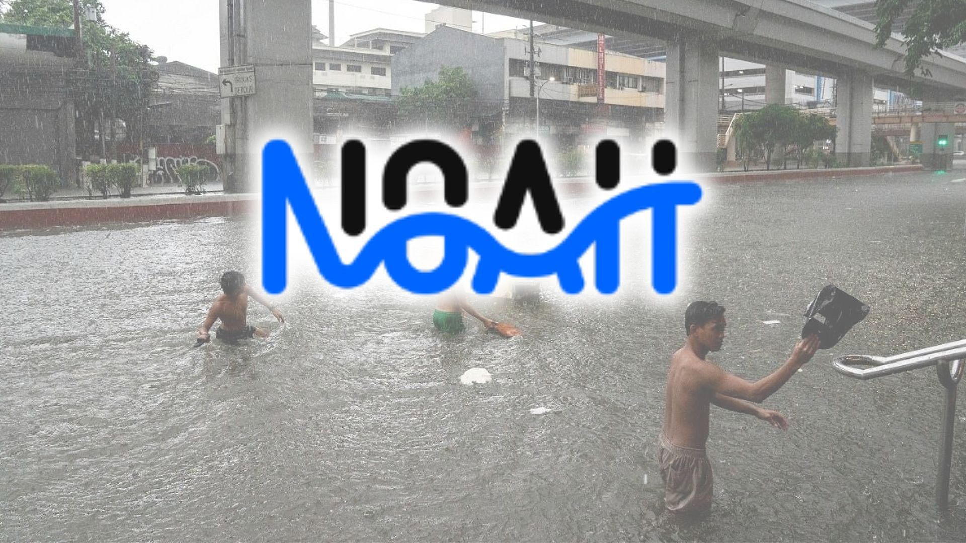
Project NOAH favors flood control simulation before construction of projects
Before the construction of a flood control project begins, it is best to determine whether it is suitable to the terrain and that it allow floodwaters to drain into tributaries, according to Project NOAH (Nationwide Oper
लेखक LYJAH TIFFANY BONZO,GMA News··10K पढ़े गए
Project NOAH favors flood control simulation before construction of projects
Before the construction of a flood control project begins, it is best to determine whether it is suitable to the terrain and that it allow floodwaters to drain into tributaries, according to Project NOAH (Nationwide Operational Assessment of Hazards).
“Dahil po kaya natin or may kakayahan ang NOAH… na mag-simulate ng baha, pwede nating ilapat iyong kanilang disenyo doon sa hugis ng kalupaan,” Project NOAH Executive Director Dr. Mahar Lagmay said on Bagong Pilipinas Ngayon.
“[Padadaluyin] iyong baha para nakikita natin kung iyong infrastructure na kanilang iniisip ay magiging epektibo o hindi,” he added.
(Because NOAH has the capability… to simulate floods, we can apply their design to the topography of the terrain and let the flood flow so we can see whether the infrastructure they are thinking of will be effective or not.)
Lagmay said their technology would save the country billions of pesos for infrastructure master plans that turn out not to be effective in mitigating floods.
The national government had previously flagged several poorly situated flood control projects, which had caused more harm and created more flooding in communities.
On Monday, the Department of Budget and Management released P1 billion to Project NOAH to fund its AI-powered flood forecasting system and disaster prevention measures.
Project NOAH is implemented by the University of the Philippines Resilience Institute that offers hazard information and forecasting tools to help communities and government agencies prepare for disasters.
Hazard maps
According to Lagmay, beyond project simulation, the allocated budget will support leaders by providing scientific analysis and data they can rely on to make decisions.
Among the disaster preparedness tools that Project NOAH aims to enhance are its hazard maps.
“Iyon po ang nakikita kong isa sa pinakamalaking magagawa nitong one billion na budget dahil unang-una po gagawa kami ng mga high-resolution hazard maps para naiintindihan natin iyong problema, para kapag naintindihan natin iyong problema alam natin iyong tamang solusyon,” Lagmay said.
(That is what I see as one of the biggest things this one-billion budget can do, because first and foremost we will create high-resolution hazard maps so that we understand the problem, because when we understand the problem, we know the right solution.)
More than half of the allocated budget will be used for LiDAR drones, according to Lagmay. These drones utilize lasers that will help to acquire the accurate shape of the terrain and effectively update hazard maps.
Lagmay said that, from the 10-by-10-meter resolution maps, it would be possible to produce plans with one-by-one-meter resolution.
“Halos kalahati noong budget ng one billion—lagpas kalahati ay… para sa LiDAR drones ‘no, ipapamahagi ito sa mga state universities and colleges sa buong bansa para sila ay kakalap ng impormasyon,” he explained.
(Almost half of that one-billion budget—more than half actually—is... for LiDAR drones, you know; these will be distributed to state universities and colleges across the country so that they can gather information.)
“Drone ito na may LiDAR, laser ito, na kukunin niya iyong hugis ng kalupaan na detalyado para ma-update natin iyong ating mga hazard maps, mas maging detalyado iyong ating mga hazard maps,” he added.
(These are drones with LiDAR; this is laser technology that will capture the detailed shape of the terrain so that we can update our hazard maps and make our hazard maps more detailed.)
Accessibility
To carry out data collection and studies on disaster preparedness and resilience, Project NOAH plans to tap state universities, colleges, and higher education institutions to participate in the effort.
By coordinating with local academic institutions, Project NOAH envisions broadening its reach and increasing the number of communities that can benefit from its studies.
“Makikipag-ugnayan din po kami sa mga state universities and colleges, higher education institutions para sila ay nakakatulong doon sa pagkalap at saka pag-distribute ng impormasyon doon sa kanilang lokal na area,” Lagmay said.
(We will also coordinate with state universities and colleges, higher education institutions so that they can help in gathering and distributing information in their local areas.)
He added that Project NOAH will try to reach many provinces, including Geographically Isolated and Disadvantaged Areas.
At present, Project NOAH’s hazard map is available on its website, and on mobile applications both on Android and iOS.
Public access to information
Lagmay said these platforms provide public access to critical data, enabling individuals to check their exposure to local hazards.
“Iyong mga ginagawa po namin ay hindi lang viewing ng data kung hindi, we also make available the datasets para sa ganoong paraan iyong mga gusto pang pag-aralan iyong mga datos na may patungkol doon sa disaster, na disaster problem ay puwede nilang pagandahin pa,” he also said.
(What we are doing is not just the viewing of data; instead, we also make available the datasets so that those who want to further study the data regarding disasters—or disaster problems—can improve them even further.)
“At iyong empowerment po na iyon na imbes na naghihintay tayo ng abiso ay sa mga emergencies, sa disasters, sa anticipatory action, you need the data and information right at your fingertips, and it should be available at any time, at any minute,” he added.
(And that empowerment, wherein instead of waiting for advisories during emergencies and disasters, for anticipatory action, you need the data and information right at your fingertips, and it should be available at any time, at any minute.)
According to Lagmay, Project NOAH’s impact-based forecasting detects weather impacts one day in advance.
This feature is envisioned to help local authorities make quick decisions, such as declaring class suspensions.
“Hindi ito one hundred percent perfect kasi mahirap pong i-claim iyan, pero mapapaganda po natin iyong ating mga desisyon kasi science-based, may mga thresholds, mayroong mga measurements," Lagmay noted.
"At kapag iyon ang gagamitin natin na basehan sa mga desisyon, ang ating governance ay guided by evidence,” he added.
(This is not one hundred percent perfect because that is difficult to claim, but we can improve our decisions because it is science-based, with thresholds and measurements. And when we use that as the basis for decisions, our governance is guided by evidence.)
Citing data from the United Nations Development Programme, Lagmay said that 56.7% of local government units currently use the platforms of Project NOAH.
With the allocated funds, Project NOAH aims to further improve and expand the capabilities of its platform, where not only flooding can be forecasted, but also helpful forecasts on agriculture, tourism, health, and other sectors. — BAP GMA News
“Importante po ang communication, importante po na naiintindihan din ng mga tao na mayroon na po tayong mga advances, pero ang gusto po natin ay maging zero casualties iyan,” Lagmay said.
(Communication is important; it is important that people also understand that we already have advances, but what we want is to achieve zero casualties.)###