EXPLAINER: Why multiple tropical cyclones can form near the Philippines
Since the country entered the rainy season in June, several areas have been affected by heavy to intense rains brought by various weather systems.
بقلم LYJAH TIFFANY BONZO,GMA News··8K قراءة
EXPLAINER: Why multiple tropical cyclones can form near the Philippines
Since the country entered the rainy season in June, several areas have been affected by heavy to intense rains brought by various weather systems.
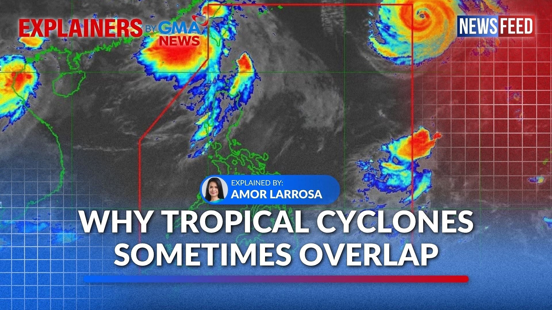
From August 22 to 24, 2026, three weather systems were observed near or within the Philippine Area of Responsibility (PAR).
To the west, former Tropical Cyclone Neneng was monitored. After weakening and exiting the PAR, it re-intensified into a tropical depression and was given the international name Gaenari.
Meanwhile, Tropical Cyclone Obet entered the PAR from the east on the afternoon of August 24 but exited later that evening. Another tropical depression, which was given the international name Atsani, had also developed to the south of Obet.
The simultaneous occurrence of multiple tropical cyclones is not uncommon in the Philippines.
In July 2025, Tropical Cyclone Crising was closely followed by Dante and Emong, both of which entered the PAR at around the same time.
Similarly, in September 2025, the country was affected in quick succession by Tropical Cyclone Mirasol, Super Typhoon Nando, and Tropical Cyclone Opong.
What causes multiple tropical cyclones to form at the same time?
Location
According to the Philippine Atmospheric, Geophysical and Astronomical Services Administration (PAGASA), an average of around 20 tropical cyclones enter the PAR each year, a figure largely influenced by the country’s geographic location.
The Philippines lies within the Western North Pacific Ocean, which is the world’s most active tropical cyclone basin.
The vast expanse of the Western North Pacific, coupled with its consistently warm sea surface temperatures, provides favorable conditions for multiple tropical cyclones to form across different parts of the basin.
PAGASA has recorded more than 200 tropical cyclones forming in the region every 10 years. Several of these systems move westward across the Pacific and eventually enter the PAR.
Intertropical Convergence Zone
According to PAGASA Climate Monitoring and Prediction Section Chief Ana Liza Solis, the Philippines’ location in the tropics places it near the Intertropical Convergence Zone (ITCZ), a region where low pressure systems can develop and, under favorable conditions, intensify into tropical cyclones.
The ITCZ is a belt near the equator, where solar heating is strongest and trade winds from the Northern and Southern Hemispheres converge.
“Kasi yung ITCZ natin, ito ay series ng mga low pressure systems that could act as breeding places ng ating mga bagyo,” Solis said.
(Our ITCZ consists of a series of low pressure systems that can serve as breeding grounds for tropical cyclones.)
In this zone, warm, moist air rises and cools, leading to the formation of clouds that can produce heavy rainfall.
Solis explained that during the Southwest Monsoon (Habagat) season, tropical cyclones forming in the Western North Pacific often do not make landfall in the Philippines because the ITCZ shifts farther north.
However, these cyclones can still bring heavy rains to the country by drawing in and enhancing the flow of warm, moist air from the southwest.
“Mas nandito naman ‘yung mga pag-init, ‘yung temperatura at ‘yung westerlies dito sa may Indian Ocean,” Solis explained.
(The higher temperatures and the westerlies are concentrated near the Indian Ocean.)
“Doon nanggagaling ‘yung ating moisture, ‘yung tinatawag na monsoon. So ‘yun ‘yung nagdidikta naman na nagbibigay ng maraming ulan sa panahon ng Habagat,” she added.
(That is the source of our moisture, known as the monsoon. That mechanism dictates and delivers substantial rainfall during the Habagat season.)
Because of its geographic location, the Philippines is among the first land areas encountered by tropical cyclones moving westward from the Pacific Ocean.
Successive or simultaneous cyclones can bring severe impacts to communities, with heavy rains and strong winds persisting over several days. —VBL GMA News